

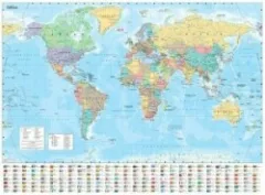
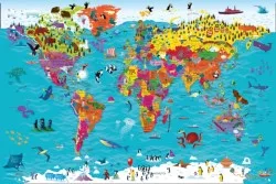
Collins Children's World Map
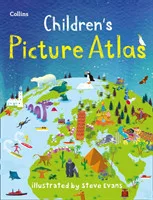
Beautifully illustrated wall map for inquisitive kidsColourful Illustrated Map of the WorldThis bestselling, highly illustrated pictorial map is designed to take children on a journey of discovery around the countries of the world. The mapping is up-to-date, colourful and highly informative and shows countries and capital cities.Stunning illustrations are used to depict themes such as national emblems, customs, food, birds, animals, buildings and sports to help younger readers gain an understanding of the world.Dimensions 610 X 915 mm / 24 x 36 inchesIllustrated by Steve Evans.Now with barcode removed due to popular demand from our customers.
Komentáře
Přihlas se, abys mohl/a přidat komentář.



Zatím žádné komentáře. Buď první!